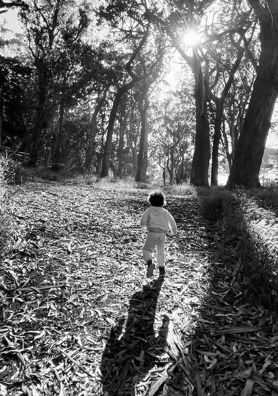
Ocean Beach, San Francisco · May 28 · 6:08am

Eastern Sierra · Part V · Leg 14 area

Sierra crest from the Mojave

Desert morning
3,430 miles of backroads, fire tracks, coastal trails, and mountain passes. A bear hug of the incredible place I'm pretty lucky to call home.
I am linking backroads, unpaved tracks, fire and logging roads, bike trails, and quiet paths into one loop around the perimeter of California.
No entries yet
Journal entries will appear here as the ride progresses. Use the Post update form to add your first entry.
Signed in as — only this account can change anything here, and the server checks that on every save.
Click to attach photos to this entry
Tick a leg once you have ridden it. This is the only thing that marks a leg complete anywhere on the site.
GPX tracks are uploaded in the route app, which draws them on the map as soon as they are saved.
A few years ago I biked across the US with a few of my ex-students, and found the adventure both exhilarating yet nerve-wracking: we had several close calls with cars and trucks roaring past inches away from us as we did our best to "share the road". While watching the country roll past our train window on our return to California, I told the kids I didn't think I'd ever do another long bike trek on highways and major roads. I love the freedom and feeling of grand adventure of a long bike journey, but I also want to be able to come home in one piece to keep hanging out with my family and spending all the time I can with my grandson. No more hugging a 3" asphalt shoulder for me.
On our trans-America trip we'd learned about—and even ridden some—on bike-friendly off road routes like the Great Divide Bike Route and The Great Allegheny Passage, and I began to think about finding some similar trail in my home state. I knew about great gravel rides in Marin and in the Sierras around my home near Pinecrest, but I couldn't find anything that rivaled those epic treks. I started to fool around with my map program, and put together a route that stays off-road as much as possible (or at least off main-road) for about 3500 miles touching each of the four corners of the California border. I'm keeping with the grand tone of those other long trails in calling it The California Crown. Or The Great Gravel Bear Hug. We'll see.
And I do mean bear hug. California is a wonderful place to be. For sixty days, I'll be doing my best to complete a mostly unpaved (some stretches of California just don't offer any alternative to car-heavy pavement…and if anyone has any suggestions for any of my current mapped sections please let me know!) mega-loop of the shores, canyons, forests, mountains, and desert moonscapes of my own backyard, and a celebration of the spirit of possibility I absorbed from an "old school" California childhood. Call it an act of radical presence — an embrace of the incredible place I'm pretty lucky to call home.
25 section trip description with cue sheets and map, plus GPX upload, leg-by-leg progress tracking, and sharing
Printable day-by-day itinerary with estimated distances for the full perimeter route
Get journal entries in your inbox as they're posted
Questions or suggestions? Send me a message — I'd love to hear from you